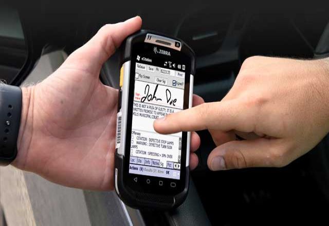
Location Alert Import
The location alert import interface offers a way in which agencies can leverage data provided by state and local government agencies regarding the COVID-19 virus to create alerts at those locations identified as having a COVID-19-related exposure or infection. This provides agencies with a quick way to add this critical information to their New World software and provide valuable information for personnel responding to a call at that location.
Working with Tyler representatives, agencies can import comma-separated values (CSV) files containing the provided location information from those data sources into their New World software. Information such as the date, street address, city, state, venue, and text for the alert needs to be included in the CSV file.
COVID-19 location alert information imported through the location alert import interface is not purged but has been set to expire after a default 30 days, so it does not display beyond that expiration point but is still in the database. The default expiration time frame is configurable based on agency guidance. While Tyler believes that the expiration of this location alert data is sufficient, some agencies may choose to use the GIS data point import which is ultimately removed from the system.
GIS Data Point Import
If agencies do not want to store COVID-19 related information in their records software, the GIS data point imports is an alternate solution. Through this interface, COVID-19 location data is displayed in a temporary map layer on the CAD map for a default of 30 days. At this time, the information is then purged from the system. This default time frame is configurable based on agency guidance. Because these are temporary map points they only display on the CAD map, these points are not available in our Mobile or Mobility solutions.


COVID-19 Location Tracking
Import Tools Now Available
Tyler has identified ways to leverage existing functionality in our New World Enterprise CAD, Enterprise Mobile, and mobility applications to combat the COVID-19 crisis. To improve the existing functionality we are providing two new import tools for our clients. These new import tools utilize COVID-19 location data provided by state health departments, COVID-19 response teams, or other government agencies who have gathered virus location data. With these tools, agencies reduce exposure to COVID-19 and improve their reporting capabilities.
These import tools are being offered at no cost as our way of assisting our clients during these unprecedented times. Select the import tool that is right for your agency.
Location Alert Import
Leverage COVID-19 data to create alerts that identify affected virus locations. Starting in New World Enterprise CAD, location alerts then push to Enterprise Mobile and mobility applications, increasing situational awareness for first responders.
GIS Data Point Import
Through the GIS point data import feature, COVID-19 location data is displayed in a temporary map point in New World Enterprise CAD. Agencies define their own timeline to use this temporary map and can purge data when it's no longer needed.
Additional details on these options are below.
True stories. Real people. All public safety.
Tyler's Resource Center has all the information you need to stay up to date on products, solutions, and industry trends.
Learn More
Have questions?
Your public safety team is here to help. Contact your client executive or click the button below to get additional details on these import tools.
Ask a Question